/
1
2
3
·
·
·
Upon receiving my Master of Science in Urban Planning in 2019, my first job was as the sole full-time Geographic Information Systems (GIS) analyst for the New York City Housing Authority (NYCHA), the largest public housing authority in North America. Working in the Performance Tracking & Analytics Department, I focused on GIS-related tasks in support of programs and initiatives across the Authority’s wide mandate.
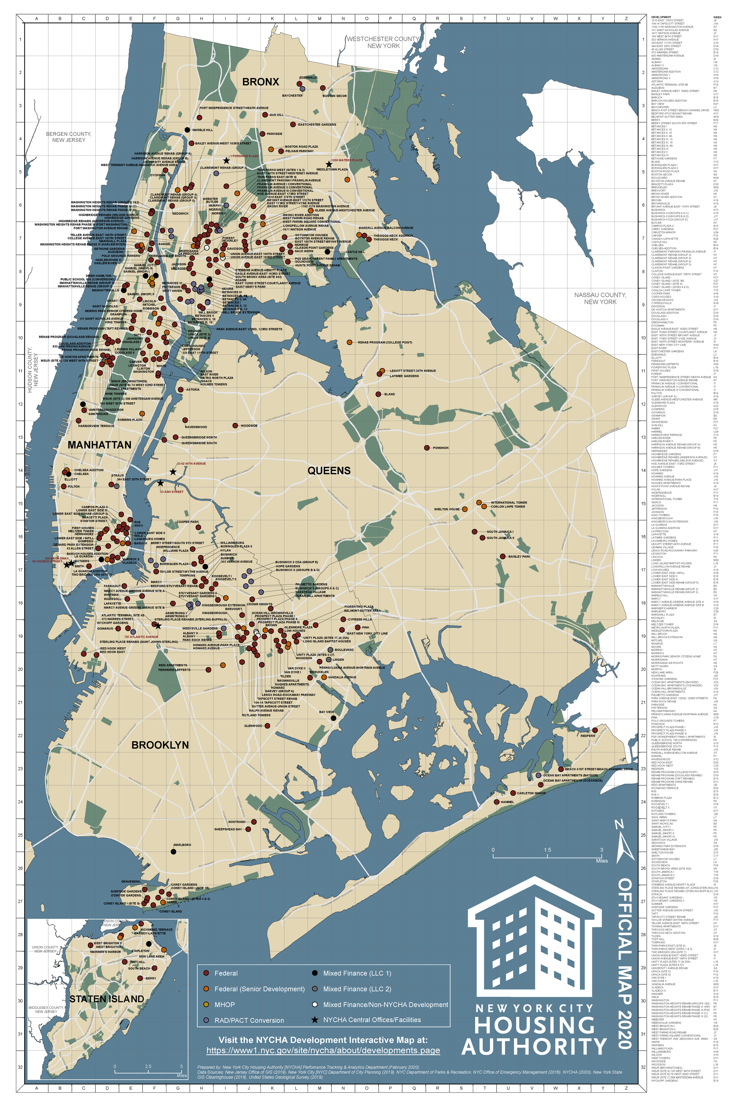
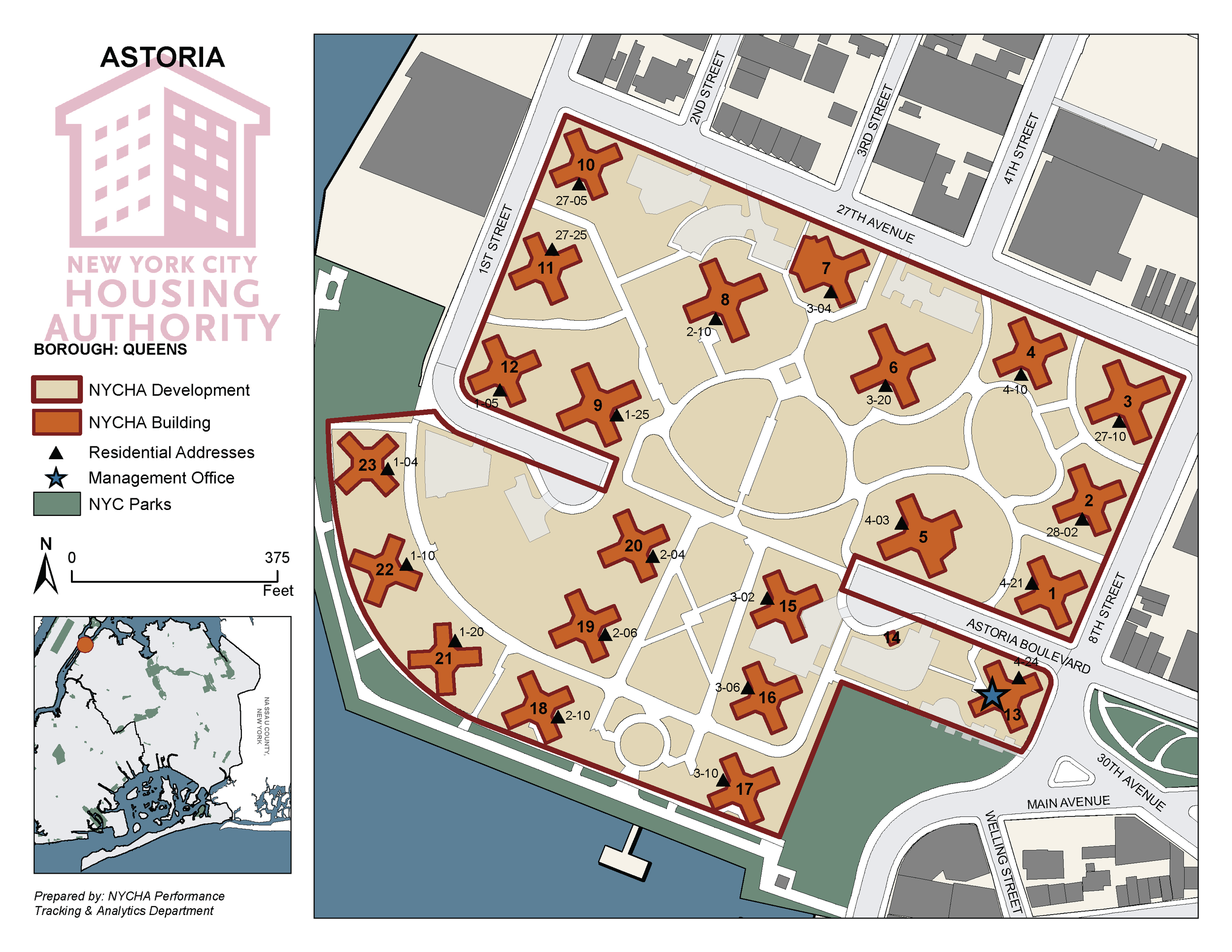
In addition to maintaining NYCHA’s spatial data assets, I updated and professionalized the Authority’s extensive reference maps collection, including the annually-published Official NYCHA Map and development-scale maps. I also developed internal- and public-facing web mapping applications for numerous use cases. (See the NYCHA Developments Interactive Map as just one example.)
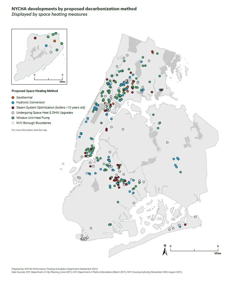
Reflecting back on my tenure at NYCHA, I am impressed by the diverse projects to which I contributed cartography and spatial analyses and the many departments with which I collaborated. These initiatives included implementing and tracking the Authority’s monitoring agreement with the US Department of Housing & Urban Development (HUD), constructing its development pipeline for the Permanent Affordability Commitment Together/Rental Assistance Demonstration (PACT/RAD) program, contributing to its Sustainability Agenda, mapping and visualizing work order data for senior officials to improve operations workflows, and developing map-based tools for responding to the COVID-19 pandemic.